
See Clearly, Act with Confidence
- Aktiun Engineering

- Dec 5, 2025
- 1 min read
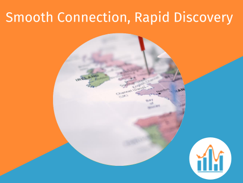
Some product decisions only become obvious when you understand where the data is actually happening. ChartFactor’s geo capabilities are built to make that spatial context fast, intuitive, and seamless to embed directly into your product.
The Geo Map GL module supports a wide range of geographic visualizations-markers, shapes, proportional circles, heat-maps, and dynamic precision through geohash clustering as users zoom in and out. Everything renders client-side, staying responsive and lightweight even during heavy interaction.
Recent backend improvements make geographic analytics even more scalable:
Partitioning and clustering support, including geohash strategies, dramatically speeds up queries and reduces scan costs for large spatial datasets.
Enhanced performance on multi-billion-row tables, including approximate count distinct when supported, offering fast, cost-efficient results without sacrificing accuracy.
With ChartFactor, geo isn’t an afterthought - it’s a powerful lens that reveals key insights your users would otherwise miss.


Comments