
Rich, Scalable Geo-Exploration
- Aktiun Engineering

- Jan 7
- 1 min read
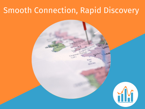
Location data only becomes valuable when it’s easy to explore and when performance holds up as scale grows. ChartFactor’s geo capabilities are designed around that reality; providing users with responsive maps, smooth interaction, and infrastructure that doesn’t get in the way.
ChartFactor’s Geo Map GL module supports rich spatial visualisation, including markers, shapes, proportional symbols, heatmaps, and zoom-based precision through geohash clustering. As users move through the map, detail adapts naturally; without overwhelming the interface or the browser.
Under the hood, recent improvements also make large-scale geo analytics far more practical. ChartFactor data providers can now take advantage of partitioned and clustered tables, including geohash partitioning for geographic datasets. The result is faster queries, lower scan costs, and better performance - even on very large spatial data.
Support for approximate count-distinct operations - where the underlying engine allows for it - also enables faster, cost-efficient analysis on multi-billion-row datasets, without sacrificing useful accuracy.
Together these capabilities make geo analysis something teams can confidently embed into products; not just as a novelty, but as a core part of the user experience.


Comments