
Explore and Grow
- Aktiun Engineering

- Oct 8, 2025
- 1 min read
Spatial data is powerful - but only when your maps are as flexible as your product demands.
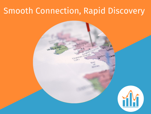
ChartFactor’s Geo Map elevates mapping beyond simple pins. You can layer markers, shapes, proportional circles, and heat maps; toggle visibility and opacity; and switch between shapes and clusters based on zoom levels. All in-browser, highly-responsive, without the need for heavy map servers or backend pipelines.
As users zoom, geohash clustering can adjust precision automatically; custom polygons and distance filters help tailor the experience to your domain. Because the maps are styled via declarative configuration, they also fit seamlessly into your UI.
Whether your use case requires regional overlays, legislative boundaries, or route-based views, ChartFactor gives you the tools to build maps that feel native and set your product apart.


Comments